.jpeg?width=1200&height=628&name=page%20(3).jpeg)
Snow
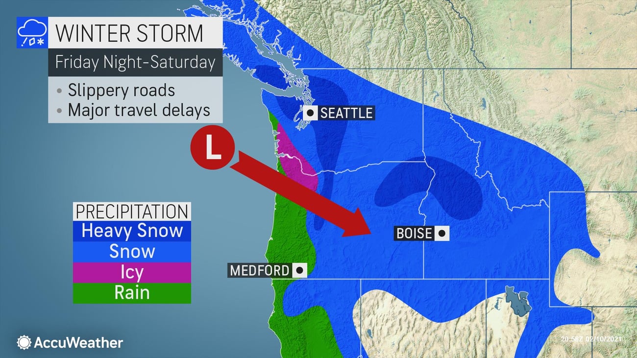
The first round in this series of storms is expected to bring 1-2 inches of snow to the Seattle area and portions of the Washington I-5 corridor before tapering to flurries on Friday afternoon. Across the Portland area, precipitation will begin as rain on Thursday, eventually changing to sleet and freezing rain as cold air moves in. A changeover to snow is expected by Thursday night across northern Oregon.
The second storm will arrive later on Friday into Friday night with heavy snow expected for the Seattle area and the Cascade Mountains of Washington and Oregon through Saturday. Several inches of accumulation are expected during that time from around Portland up the I-5 corridor into Seattle. Some sleet and freezing rain could mix with snow again on Friday afternoon into night in and around Portland. Heavy snow is expected to spread into portions of eastern Oregon and central and southern Idaho Friday night into Saturday.
A third round of moisture is expected to arrive on Sunday, however snow from this storm will be mainly confined to the mountains and higher elevations of the Pacific Northwest.
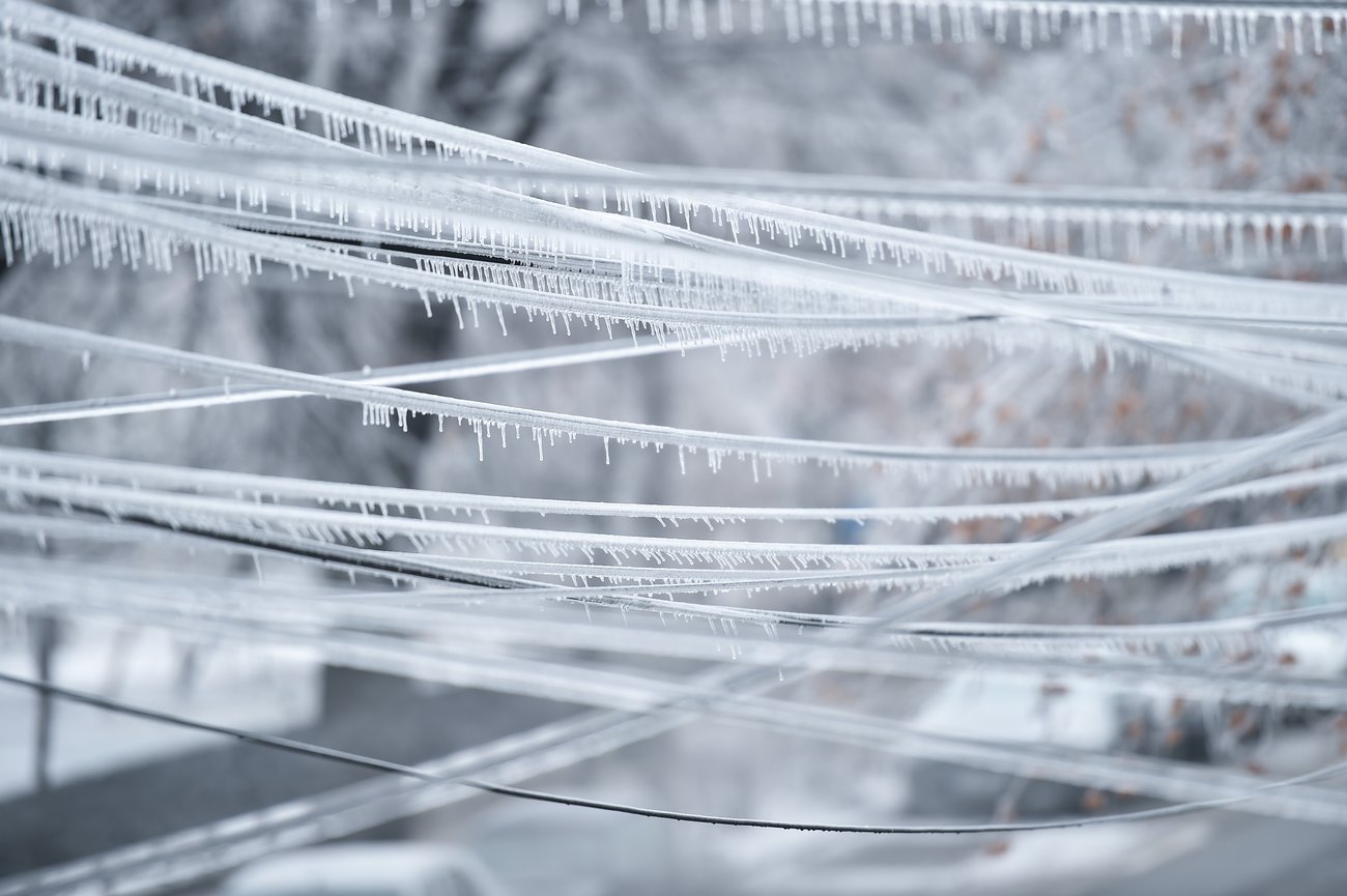
Freezing Rain
The heaviest freezing rain will occur across southwest suburbs of the Portland metro Thursday through Saturday with localized areas seeing 0.5-1 inch of accumulation. Portland proper is expected to see a wintry mix for the majority of this event with up to 0.5 inch of ice and 6 inches of snow/sleet.
Disruptions to logistical operations are expected, including power outages within the heaviest icing area, travel delays and closures to businesses.
How AccuWeather Can Help
Winter events such as this one, with the potential for changing precipitation type over a timeframe as well as varying with elevation, require detailed forecasts. AccuWeather For Business has trained and knowledgeable meteorologists who are able to provide in-depth briefings at any time of day or night. Our site and threshold-specific warnings, as well as region-focused graphical forecasts, set your business up to handle any type of weather, keeping employees safe and minimizing disruption.
Ensure you stay up-to-date during complex weather events with a demo of our SkyGuard winter services.
- A cold air mass taking hold across the Pacific Northwest is setting the stage for a prolonged winter event, which will bring several feet of snow to the mountains, accumulating snow to Seattle, and snow and freezing rain to the Portland area
- Widespread, significant travel delays are possible over multiple days. Interstates most likely to be significantly impacted on Thursday through Sunday: I-5, I-90, and I-84
- Retail: Shovel and salt walkways, dry high traffic areas inside near your entrance, put up “Wet Floor” signs, and keep all floors clear to help prevent falls and reduce liability
- Business interruption due to extended power outages caused by accumulating ice and gusty winds can be expected