Prepare your business for snow & ice impacts
Harness our highly-acclaimed winter weather services and expertise for comprehensive situational awareness throughout the season.
How will you benefit from our winter weather product suite during snow events, blizzards, extreme cold, ice storms and more?
- Prepare equipment to reduce shutdown time
- Pre-position claims adjusters or other resources
- Determine where to focus site preparations
- Re-route or speed up shipments
- Prepare to meet local supply and demand
- Anticipate and better manage retail foot traffic
- Modify staffing levels to keep employees safe
- Understand how power disruptions will impact remote workers
Winter weather offerings available
AssetReport™
Gain competitive advantage by knowing the exact impact and timing of weather impacts at each of your locations before anyone else.
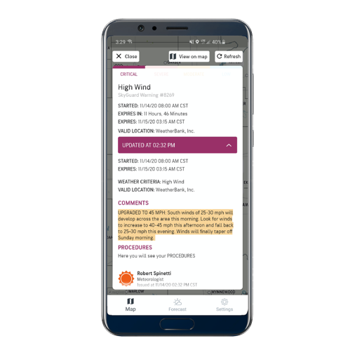
SkyGuard® Warnings
Site-specific warnings detail start and end times for snow, blizzards, ice, high wind, extreme temperatures and more.
Short- and Long-Term Forecasts
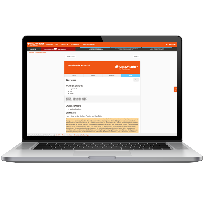
Created and maintained by expert meteorologists, these event-driven reports describe where the highest risk for impact will occur up to 10 days ahead of a major winter system.
Daily Reports
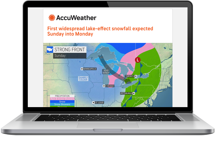
From sent twice daily to as-needed, reports include Daily Hazard Maps, High Impact Executive Summary, Talking Points, and Storm Reports.
Mobile App & Portal
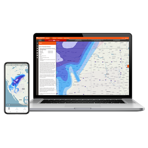
Future Radar (mobile app only) helps you know when the leading edge of snow will begin affecting your operations. MinuteCast® provides a hyperlocal, minute-by-minute forecast for precipitation type and intensity, as well as start and end times for precipitation over the following two hours, pinpointed to your exact asset address or device GPS location.
Analytics
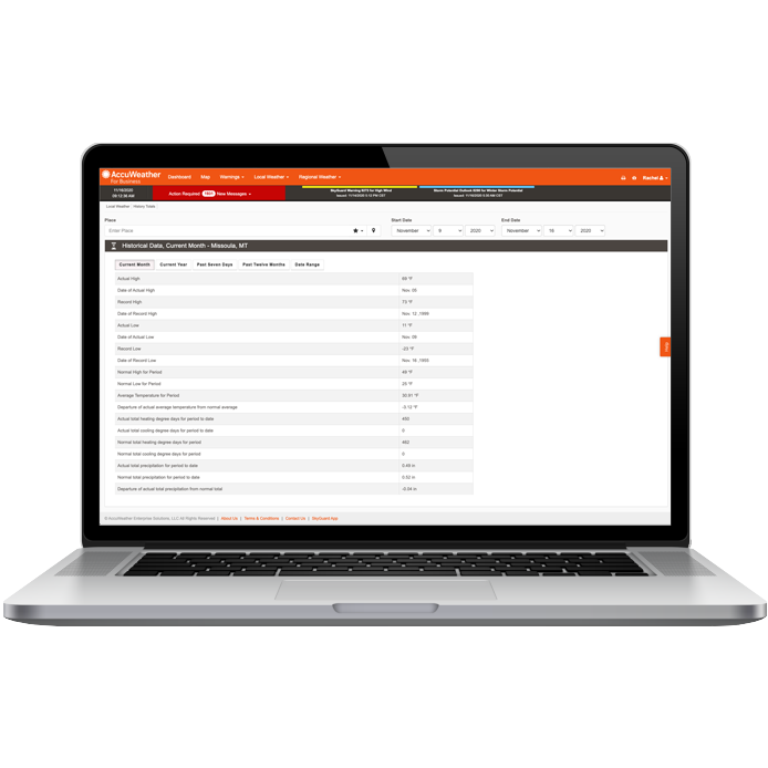
We offer a comprehensive, accurate historical database that can help your organization compare forecasts to previous months to plan labor needs, consumer demand, and product mix.
1:1 Consultation
Our team of business weather experts is available 24/7 for 1:1 or team-oriented live briefings throughout any weather impact. This live context, paired with forecast and warning products, forms a common operating picture that virtually eliminates any guesswork for decision-makers.

- Access to AccuWeather For Business Portal & Mobile App
- Asset-Specific 1:1 Consultation
- SkyGuard Warnings
- Snow from 1” - 4” (regionally dependent)
- Ice from 0.10”+ (regionally dependent)
- High wind up to 60 mph
- Tornadoes
- Flash flooding